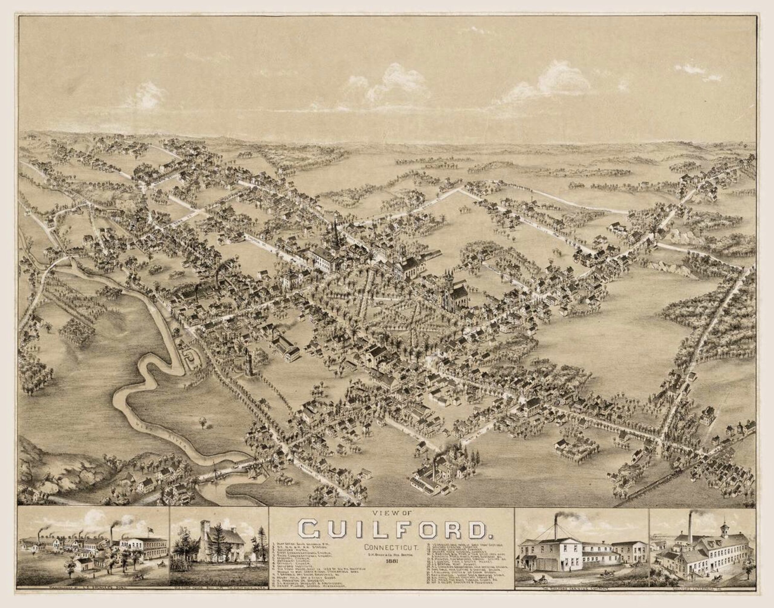
“This Long Island Sound shoreline town is a combination residential and summer community. Five miles in width and 12 miles in length, the town contains 47.6 square miles and a population of 21,000. Flanked on the west by Branford and on the east by Madison, these shoreline towns are suburbs to urban New Haven.
Guilford has a small, historic, charming atmosphere which is highlighted by its rustic character and individuality. The town seeks to maintain its value and character as it continues the development of its commercial and industrial area in the southern section. This area is well served by major highways, including Interstate 95 and rail connections.
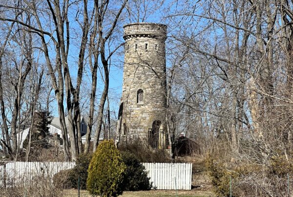
Unique characteristics include the Town Green with tree lined abutting streets that boast the third largest collection of historical homes in New England, dwellings from the 17th, 18th and 19th centuries. Enjoy the numerous boutique shops, antique markets and art galleries that also surround the Green. Nearby are historical museums that display Guilford’s heritage, including the Hyland House (1660), Henry Whitfield State Museum (1639), Thomas Griswold House (1774), Medad Stone Tavern (1803) and the Dudley Farm (1840).” – from guilfordct.gov.